Tall Grass Prairie
ALTONA-GRETNA-RHINELAND TRAIL
Geographical Location: Rosengart to Emerson. Treaty 1.
Length: 82 km / 51 miles
Trail Types: natural trail, gravel trail, paved trail, gravel road, paved road
Trail Activities: hike, bike, horse, ski, snowshoe
Beginning near Rosengart, this part of the trail follows portions of the historic Boundary Commission Trail, created while establishing the Canada/U.S. border along the 49th parallel in 1872. The trail features trail markers that date back to the 1800s when the Boundary Commission had established the border. The route takes you along rural roads paralleling Buffalo Creek as it meanders its way east to the Town of Altona. There it connects with the Buffalo Creek Nature Park in the northwest corner of town.
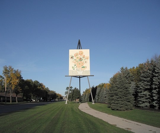
Within the Town of Altona, the trail joins up with the community trail system, which has asphalt trails and benches for rest stops. A small detour into town will take you past the worlds largest Van Gogh replica painting. From Altona to the Village of Gretna the trail follows an abandoned rail line south and then continues for about 12 kms east until it returns to the Boundary Commission Trail along the border before linking up with the next municipality. The stretch of abandoned rail line between Altona and Gretna passes through some of the province’s richest farmland and offers a glimpse of the history of Manitoba’s Mennonites. Approximately half of the trail in this section runs right along the Canada/U.S. border, separated by two-lane dirt tracks between farmer’s fields and a ditch.
CAUTION:
When following roadways, trail users should always remain on the shoulder (may not be paved). It is recommended that you only use roadways during daylight hours and under appropriate weather conditions.
ONLINE RESOURCES: