Assiniboine Delta & Pembina Valley
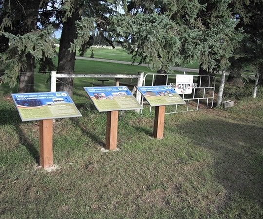
CARBERRY NORTH CYPRESS TRAIL
Geographical Location: Northern boundary of the RM near Wellwood to five miles south of Carberry. Treaty 1.
Length: 36 km / 20 miles
Trail Types: gravel road, paved road
Trail Activities: hike, bike, horse, ski, snowshoe
The Carberry North Cypress trail runs from the northern boundary of the municipality near Wellwood, to the southern boundary, located five miles south of Carberry. The Carberry Plains area is characterized by fertile soils that produce a very diverse agricultural industry. The town of Carberry (King Spud Country) is known for producing high quality potatoes. The landscape around Carberry has some interesting features unique to the province and Canada. The Assiniboine Delta was formed ten thousand years ago when a raging glacial river carried sand and silt across the Prairies, then dropped it here as it spilled into ancient Lake Agassiz. As the lake dried, the Carberry Sandhills were left behind where the lake shore once was. The land is an array of rolling hills and valleys that are covered in fertile sandy soils.
CAUTION:
When following roadways, trail users should always remain on the shoulder (may not be paved). It is recommended that you only use roadways during daylight hours and under appropriate weather conditions.
ONLINE RESOURCES: