Assiniboine Delta & Pembina Valley
RM OF LORNE TRAIL
Geographical Location: RM of Lorne Boundary to the RM of Thompson boundary. Treaty 1.
Length: : 77 km / 48 miles
Trail Types: natural trail, gravel trail, gravel road
Trail Activities: hike, bike, horse, ski, snowshoe
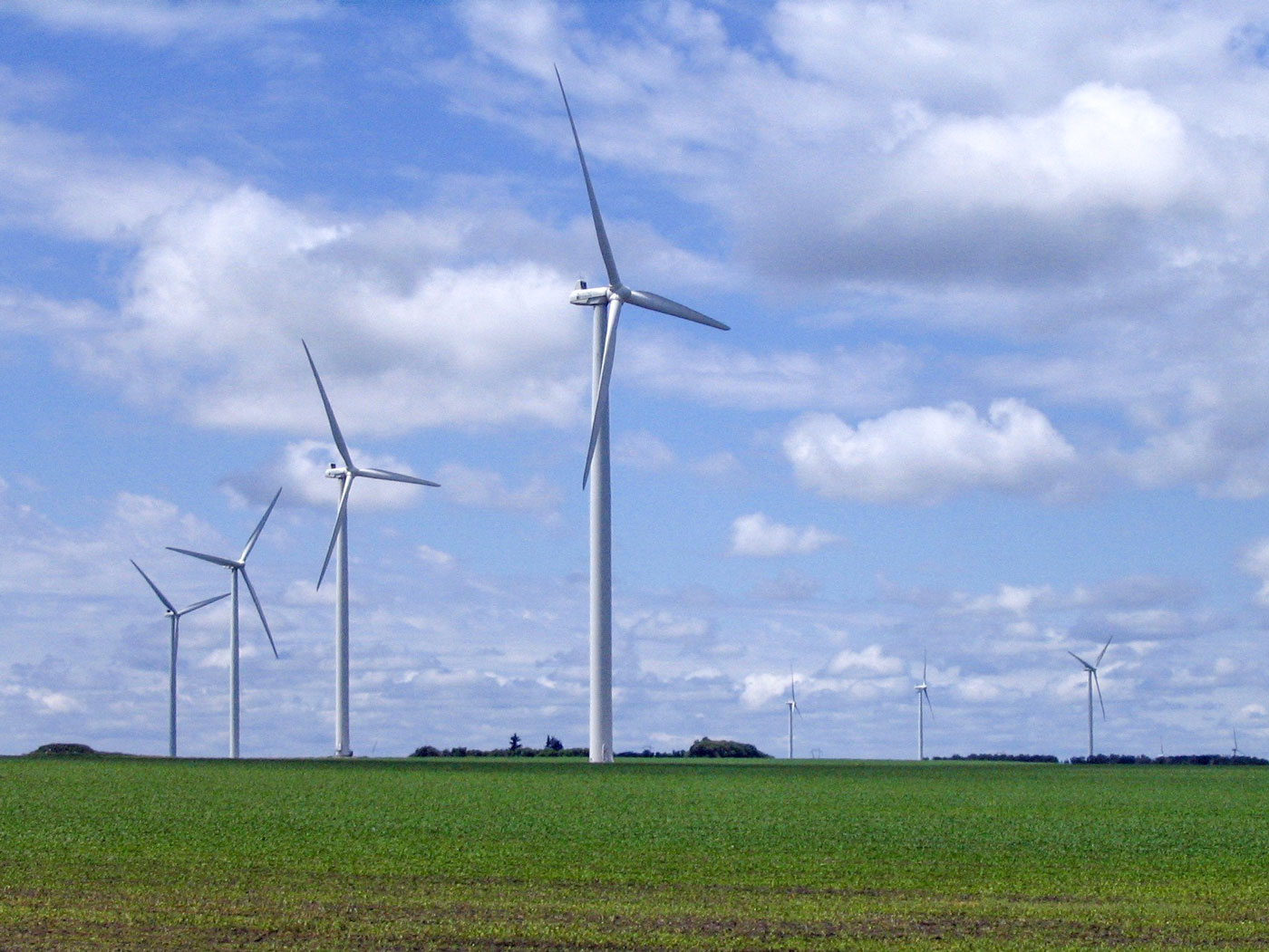
The route enters the municipality just south of Cypress River, meanders through the valley to Lake Seven, heads eastward to the village of Bruxelles, then south to Swan Lake. From here, the route heads down the old #23 Hwy to Somerset and to the village of St. Leon, where the sight of giant windmills can’t be missed. The route passes through various scenic parts of the Pembina Mountains, the source of both the Cypress and the Boyne Rivers, as well as the Swan Lake First Nations reserve. This section of trail is situated on the gently rolling hills and fertile lands of southern Manitoba. It is bordered on the east by the Pembina Hills, by the Tiger Hills on the north and west, and the Pembina Valley on the south. The route continues east past the town of Altamont, until it reaches the RM of Thompson boundary.
CAUTION:
When following roadways, trail users should always remain on the shoulder (may not be paved). It is recommended that you only use roadways during daylight hours and under appropriate weather conditions.
ONLINE RESOURCES: